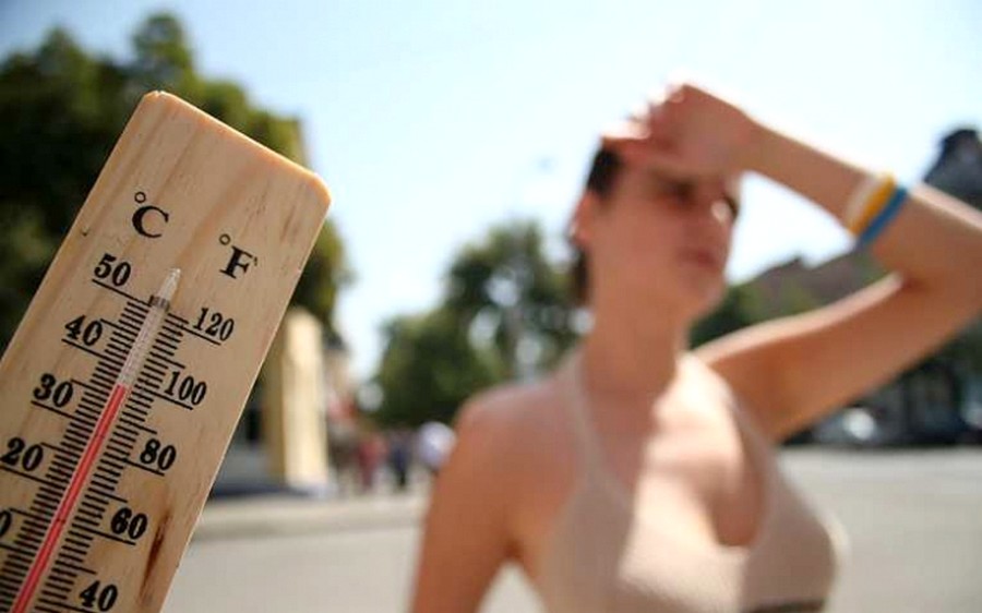
Ma még kánikula lesz de a hét többi napjain enyhülni fog
Nyár van!
Hétfőn sok napsütésre számíthatunk, bár kezdetben lehetnek északon és az Alföldön átmenetileg felhősebb tájak. Jelentős csapadék nem várható, csupán néhol az Alföldön és esetleg északon fordulhat elő egy-egy gyenge futó zápor. Az északias szelet sokfelé kísérhetik élénk lökések. Hajnalban 12 és 18, délután 27 és 34 fok között alakulhat a hőmérséklet.
Kedden már több gomoly- és fátyolfelhő lehet felettünk, és egy hidegfront hatására helyenként záporok, zivatarok is kialakulhatnak. Az északnyugatira forduló szelet sokfelé kísérhetik élénk, erős, néhol akár viharos lökések is. A legmelegebb órákban 25 és 32 fok közötti értékeket mutathatnak a hőmérők.
Szerdán sokfelé számíthatunk esőre, záporra, helyenként zivatarra is, de délután északnyugat felől egyre többfelé felszakadozik a felhőzet. Élénk, helyenként erős lökések kísérhetik az északnyugati szelet. Felfrissül a levegő, a legmagasabb hőmérséklet mindössze 19 és 27 fok között alakulhat.
Csütörtökön napos-gomolyfelhős időre van kilátás, csak elszórtan északon és az Alföldön alakulhat ki átmeneti jelleggel zápor, esetleg zivatar. Többfelé élénk, helyenként erős lehet az északnyugati szél. Délután 22 és 30 fok között alakulhatnak a maximumok. Pénteken sok napsütésre számíthatunk, az időnként megjelenő felhőkből legfeljebb északon fordulhat elő gyenge zápor, esetleg zivatar. A Dunántúlon élénk lehet a délies szél. Délutánra 26 és 32 fok közé melegedhet a levegő.
Via. (idokep.hu)